

01
Scan with LiDAR
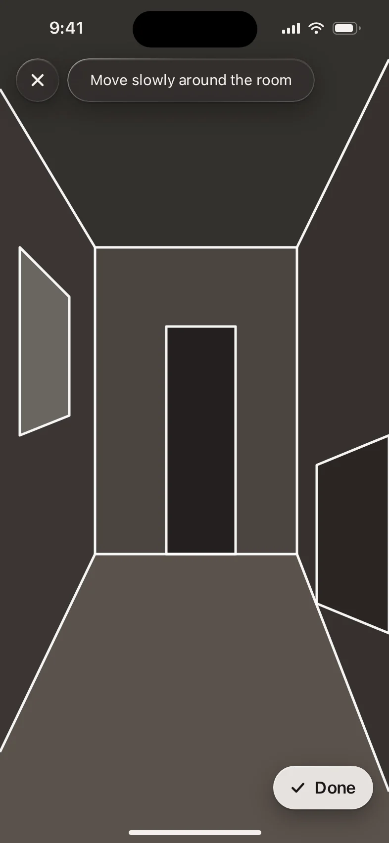
Walk each room with a Pro iPhone or a LiDAR iPad. Each room lands in place, ready to edit, and saves as you go.
Available at launchScan it, draw it, or type it in. Mix them on one level. Every room stays editable.
Walk each room with a Pro iPhone or a LiDAR iPad. Each room lands in place, ready to edit, and saves as you go.
Available at launchDraw the outline, rooms, doors, stairs and levels in the plan builder. Fix a scanned room, or draw one from scratch on the same level.
Available at launchType each room’s width and length, or start from a home template: bedrooms, bathrooms, garage.
Coming soonA tap places the plan on a quiet street map. Line it up with the street once, and it stays.
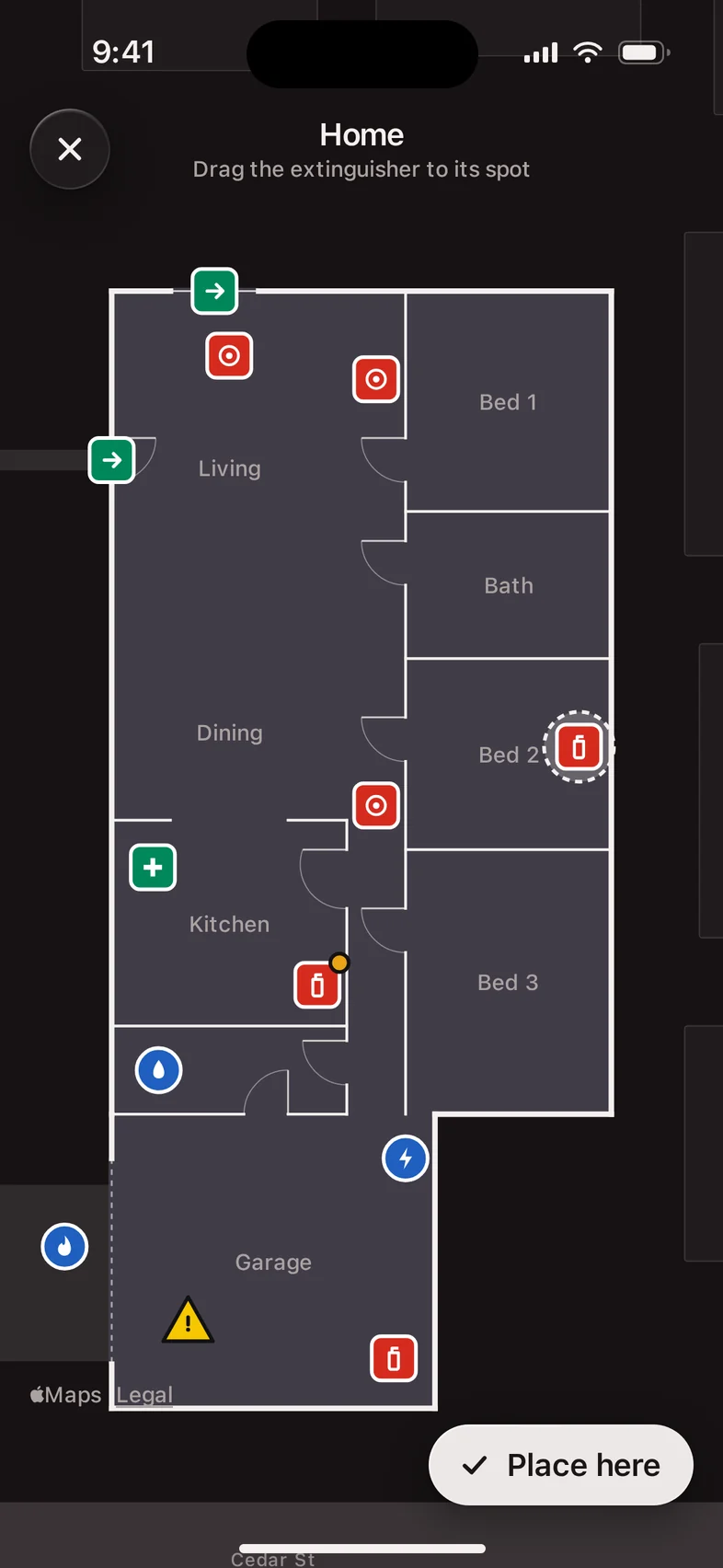
Extinguishers, AEDs, first aid, shut-offs and exits, in familiar safety symbols. Each one gets its check.
Invite your team as Editors or Viewers. Sign-in is optional, and nothing leaves your phone until you turn on sync.
Shape, color and symbol together, so an extinguisher never looks like a shut-off.
 Fire equipment
 Shut-offs
 Exits, AEDs and first aid
 Hazards
 Way in and key box
 Meeting point
Join the waitlist and try it the day it launches.
Coming soon to the App Store